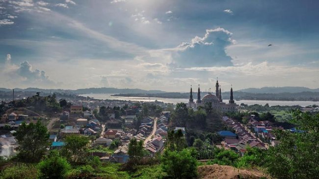
Samarinda is the capital of the province of East Kalimantan in Indonesia, on the island of Borneo. The area sits on the banks of the Mahakam River on a low-lying soil - the average elevation of the city being 10-200 meters above sea level – and under a wet tropical climate. It is the most populated city in East Kalimantan with an estimate of 842,691 inhabitants. Samarinda benefits from a fairly high HDI – 80.2 in 2019, compared to 71.9 at the national level – and is among Indonesia’s richest cities since the city and its surroundings are rich in natural resources (oil, gas, coal, palm oil and timber).

1. Samarinda
The Samarinda City’s Medium-term Development Plan (RPJMD) for 2016-2021 establishes a perspective of development for the city based on the SDGs agenda that would be competitive as well as environmentally friendly. The city’s development takes into consideration the levels of river pollution, waste management and a responsible spatial development. This is translated into concrete initiatives:
- The city has developed a local SDG Action Plan (2018-2021) giving references and guidelines for the local government and stakeholders regarding water and sanitation. Indeed, rivers are used as water sources for the community as well as primary drainage for flood control and rainwater reservoirs, but they are polluted by household waste (55%), waste from fisheries (16%), livestock (13%) and industry (9%).
- Waste management is one of the priority of the development plan of the city that adopted a Local Regulation (Perda No.2, 2011) defining where and when the public can dispose of solid waste and a Mayor Regulation (Perwali No.1, 2019) that prohibits sellers from providing single-use plastic bags (plastic represents 19.9% of the waste produced in Samarinda).
- 2% of the city is covered in natural vegetation, 16.4% is built environment, 14.2% is mining pits. The Spatial Planning Law (2007) imposes a minimum ratio of 30% for green open spaces in all local jurisdictions. Based on data from 2013 – public green open spaces represent 5.13% of Samarinda’s area.
Finally, the city - which is prone to floods - has prepared a disaster risk study (KRB) to better prepare and handle disasters. The key elements of the study relate to an improved institutional capacity, an integrated disaster management plan fostering cooperation among regions and at every level, and the enhancement of research, education, and training of all the community.

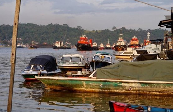
2. Samarinda
Source: Personal, Documentation/MA
The CRIC project is working on strengthening and enhancing these existing initiatives. Notably, on waste management the scientific team recommends synergies with the private sector, a waste management that would prioritize the organic fraction through source-separated collection, the implementation of circular economy mechanisms, and incentives and rewarding schemes for waste prevention and source separation. On the disaster management plan, the CRIC scientific team is currently working on the development of Early Warning Systems (EWS) coupling prevention mechanisms and smart technologies.

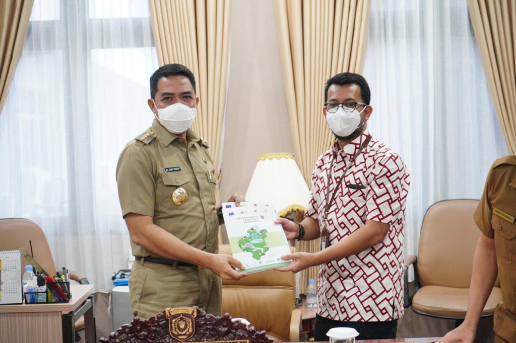
3. Meeting between Samarinda's officials and CRIC representants (Putra Dwitama, UCLG ASPAC) on the 24rth of May 2021
Source: UCLG ASPAC
To learn more about Samarinda and the findings of the CRIC experts, click here.
A policy brief redacted by CRIC partners from Pilot4Dev, ACR+, ECOLISE and AIILSG is available here.
The full Urban Analysis Report carried out by a panel of urban experts for the city of Samarinda is available here. The study sought to identify characteristics of Samarinda and climate-related existing policies and policy gaps while providing recommendations to Samarinda City officials.
, Kalimantan Timur
Indonesia 75243

